|
| Direction |
Distance |
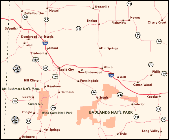
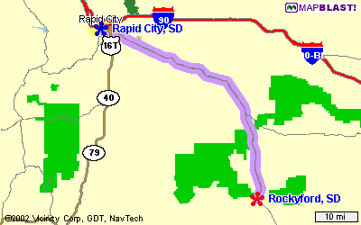
| 1: Begin at Rapid City, SD on US-16,Mt Rushmore Rd and go North for 0.4 miles |
0.4 |
 |
| 2: Turn right on SD-79,US-16T and go Southeast for 2.1 miles |
2.5 |
|
| 3: Turn left on E St Patrick St and go East for 1.4 miles |
3.9 |
|
| 4: Turn right on SD-44,E Highway 44 and go Southeast for 39 miles |
42.5 |
|
| 5: Continue on Bombing Range,CR-C589 and go South for 7 miles |
49.9 |
|
| 6: Continue on Big Foot Trl and go South for 2.4 miles |
52.3 |
|
| 7: Continue on BIA-27 and go South for 10 miles |
62.7 |
|
| 8: Turn right on BIA-2 and go West for 100 feet |
62.7 |
|
| 9: Turn left and go South for 1.4 miles to Rockyford, SD |
64.1 |
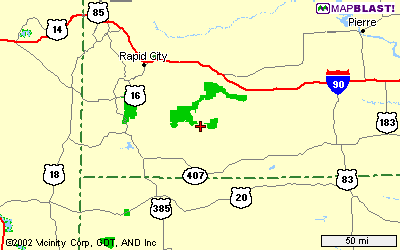
From Rapid City, South Dakota; go east on Highway 44. Turn off 44 at Scenic, going south, towards Pine Ridge. Pass Sheep Mountain. Continue until you go down a steep hill & cross a river. There you'll see the White River Visitor Center on Cuny Table Road. (If you get to Rockyford School, you've gone too far.)
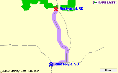
Directions from Rockyford-Cuny Table Road:
Go west on gravel road from White River Ranger Station at Rockyford for 9 1/2 miles (pass the Cuny Table Cafe) until you see a road going north at the only high line going north. This turn off is opposite a church that can be seen at a distance. Turn right there (a fence post & powerline pole both have blue & white paint on them). The road soon turns to the west, with the powerline; follow until the powerline crosses to the other side of the road. A red arrow is nailed to the last powerline pole, where you turn onto the two-track. Follow this road, and the flags, north; you can't miss it. (The Onakinjin gate is about five miles off Cuny Table Road.)
|